A total count of 65 different rivers flow instinctively untamed through the huge Myanmar republic. These profound bodies of water spread in connection to the Indian and Pacific Oceans. One of particular interest to cruise-goers is the virtually unexplored Chindwin River in Myanmar.
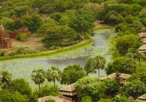
The Chindwin River lies within an abyss of forests and mountain ranges. The ecosystem remains in a fantastic state due to the excessive difficulty and length it takes to access these areas. This unspoiled goldmine of land is pretty much only accessible via cruise boats or other river vessels, such as our very own Myanmar River cruises.
The Chindwin River is formed in the epicenter of four supplementary headstreams; Tanai, Tawan and Taron. It drains northwest through the Hukawng Valley, glistening softly from end to end. Recorded at 840 km (520 miles) long you can guarantee a journey down this river will be nothing short of a spectacle.
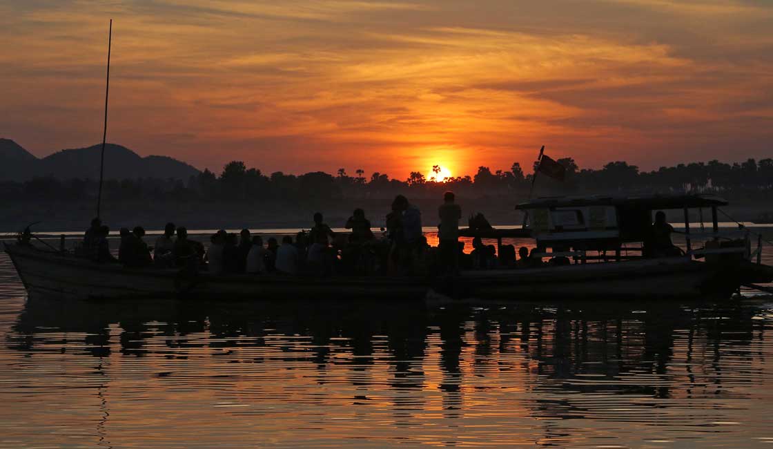
The riverbank comes alive at the whisper of the sunrise each morning. Commuter boats pull up to the shore to escort men, women, children and even monks to visit friends or market places along the riverbanks. The surrounding houses are constructed on huge stilts; standing high above the water they manage to avoid any risk of flooding or adverse effects from fluctuating water levels.
Native villagers in this exclusive area will house anything from chickens to goats in their home, and use their advantageous knowledge of the local environment to create medicines and even sunscreen (known as thanaka) from tree bark found close by.
Thanks to Myanmar’s tropical monsoon climate you can experience up to three different weather variations here, including the hot season, the cold and dry season or the wet season. During cruises along this restricted river, you will literally witness Burmese life pass by you as you drift in luxurious tranquility and comfort.
Typically, cruises connected to this river traveling upstream will cross or include the Irrawaddy river at the end of their journey through the Naga Hills. The Naga Hills district is a huge mountain range that lies between the border of India and Myanmar. Reaching a height of 3,825 meters (12,549 ft) above sea level at their highest point (Mount Saramati), their complex positioning forms a barrier between the two countries.
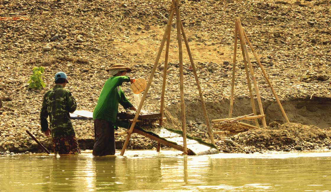
Life by the river
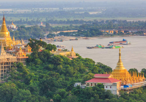
The Irrawaddy River is also officially known as the Ayeyarwady River. Some scholars have beautifully translated this name into meaning ‘the river that brings blessings to the people. This is the largest river that flows through from north to south Myanmar and is the country’s most utilized commercial waterway.
India-born, English journalist Rudyard Kipling referred to the river as the ‘Road to Mandalay’ which is still used 150 years later in the modern world. The Irrawaddy River is significant to the Burmese people as this is what they drink, where they wash and how they transport vital goods across the country.
The best way to get to know a river is to take the opportunity to travel it yourself and feel the motion of the water as you are guided into an episode of culture and civilization.
While Rainforest Cruises aim to provide accurate and up-to-date information, we make no representations as to the accuracy or completeness of any information herein or found by following any link on this site. Rainforest Cruises cannot and will not accept responsibility for any omissions or inaccuracies, or for any consequences arising therefrom, including any losses, injuries, or damages resulting from the display or use of this information.