

Evolution


Overview
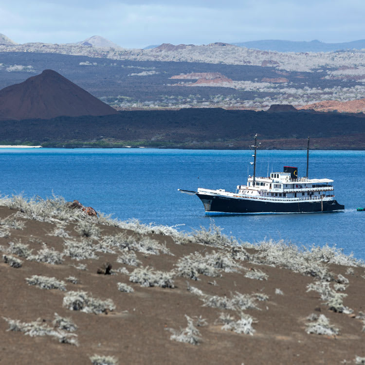
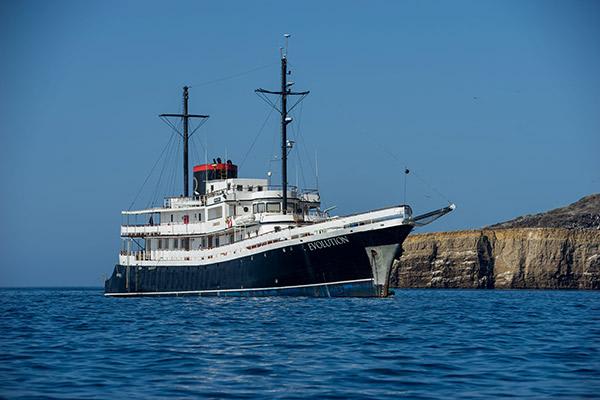
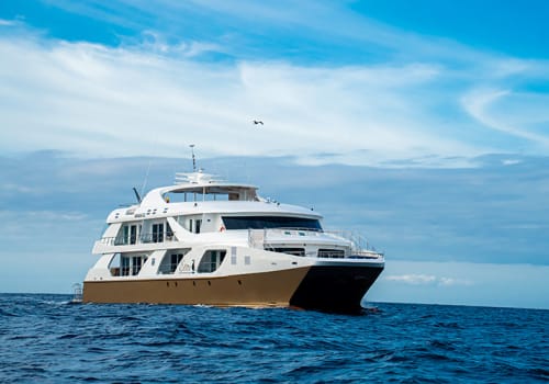
Built in the style of the vessels from the golden age of travel, the Evolution Galapagos features the look of the roaring 1920s on the exterior mixed with contemporary interior décor and modern amenities. The roomy 200-foot ship is home to just 16 staterooms for 32 guests, ensuring that everyone has ample space to relax and enjoy the magnificent views offered from every deck and stateroom.
Life Aboard The Evolution Ship
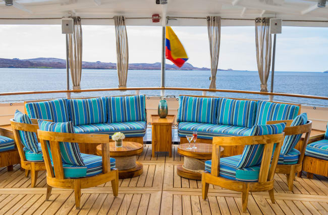
As you board the Evolution, the pampering begins right away. An 18-member crew, plus a dedicated cruise director, will do everything possible to make your time on the ship a peaceful, joyful experience. The barman stands ready to serve you a signature cocktail, which you will undoubtedly want to enjoy on the sundeck.
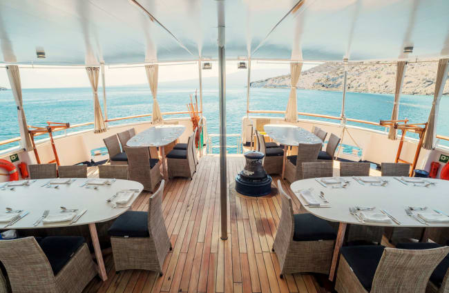
At the top of the ship, this outdoor space features lounge chairs, a hot tub, and a bird’s eye view of the marine life below. For breakfast and lunch, enjoy buffet-style meals. When it is time for dinner, elegantly-prepared meals, served in either the interior dining room or the alfresco dining area, pay tribute to the area’s culinary traditions. Sustainably-sourced ingredients such as freshly-caught tuna, locally-grown coffee, and exotic fruits are the stars of the show, and children’s menus are available to please budding adventurers.
Before you, sadly, disembark at the end of your cruise, stop by the onboard boutique to choose a Panama hat or a beautiful scarf as a stylish souvenir of your cruise. This is also a convenient place to pick up sunscreen or insect repellent so that you do not need to make room for it in your luggage.
Excursions From Your Evolution Boat Galapagos Cruise
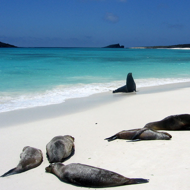
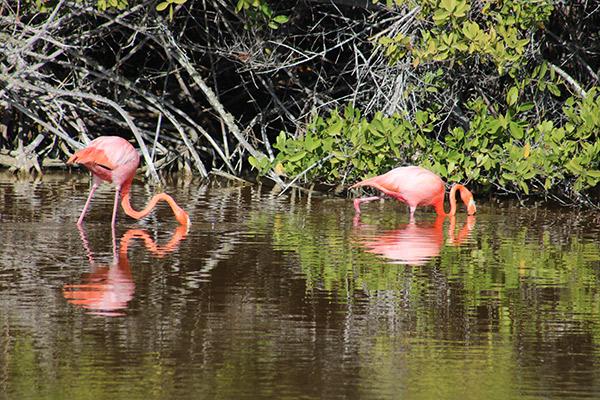
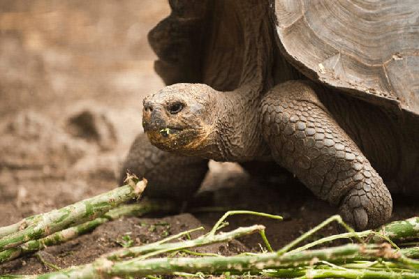
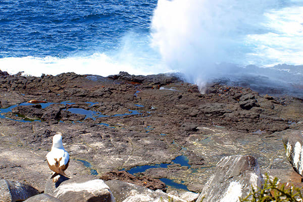
Thanks to itineraries designed to feature top-tier landing sites, such as Punta Espinoza on Fernandina and Prince Phillip’s Steps on Genovesa, unexpected animal encounters are always a moment away. Perhaps you will spot a Flightless Cormorant, snorkel with a sea lion, or photograph a giant tortoise.
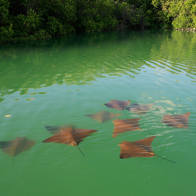
The stargazing experiences offered on several nights throughout the cruise will have you looking at the night sky in a whole new way. Kayaking through secluded coves and mangrove estuaries is a highlight for many travelers. One of the two naturalist guides aboard the Evolution ship leads every activity. These guides each have over 15 years of experience, provide insider knowledge of the area, and hold Level III certifications, the highest available from the Galapagos National Park Authority.
Time For Exploration And Relaxation
With two itineraries of eight days and another of 15 days, cruises aboard the Evolution are longer than the trips offered by many other boats. Rather than overstuffing a short cruise with too many activities or skipping important locations, an Evolution cruise allows you to fall in love with everything that the Galapagos Islands offer at a leisurely pace while still leaving time for relaxation.
Whether you are a couple in love looking for a romantic getaway, a scuba diver wanting to experience the world-class diving available in the Galapagos, or a bird watcher hoping to spy a Darwin’s Finch, the Evolution offers something for everyone.
Itineraries & Prices
All itineraries are subject to change due to seasonal weather conditions (and resultant variations in river and tributary water levels) affecting accessibility to locations. Thus navigation routes, times and excursions may need to be modified at the cruise captain’s or your guide's discretion.


Accommodations
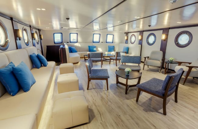
Social Areas


Suites & Cabins


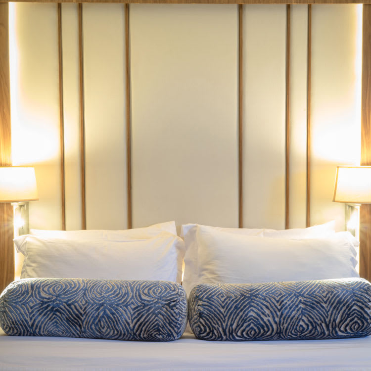
Deluxe Stateroom
The Deluxe Stateroom features a phone for internal communications, a spacious closet, and a safety deposit box for your items. The room has air conditioning for your comfort, and the private hot water bathroom comes with a hairdryer, an amenities kit, and a vanity kit.


Premium Stateroom
This ample-sized room comes with a telephone for internal communications. It features a closet, a safety deposit box, and multiple electrical outlets for your devices. The beautiful bathrooms have hot water and all the necessary amenities you will need to stay refreshed.


Suite
The Evolution suites come with a spacious wardrobe to fit all your clothes and luggage. They feature ocean-view windows, which let in adequate natural lighting. You will find all the amenities you need like a biodegradable shampoo, conditioner, and hairdryer in the gorgeous private bathrooms.


Master Suite
The incredibly spacious suite features ocean-view windows to enjoy the beautiful scenery of Galapagos Island. The rooms are air-conditioned with ample luggage and clothing space. The private bathrooms have a walk-in shower and an amenities kit for the guests' convenience.
Technical Information
Deck Plan

Features
- Air conditioning
- Deck shower
- Pool / Jacuzzi
- Massage room
- Lecture room
- WIFI available
- Kosher Meals
- Medical staff
Equipment
- Satellite phone
- Diving platform
- Snorkeling gear
- Wetsuits
- Kayaks / Canoes
- Yoga mats
Related Cruises

- Galapagos
- Ecuador
Galaxy Sirius

- Galapagos
- Ecuador
Hermes
- Galapagos
- Ecuador
Elite
- Amazon
- Ecuador
Anakonda
- Galapagos
- Ecuador
Galapagos Horizon
- Galapagos
- Ecuador
Alya

- Galapagos
- Ecuador
Eco Galaxy
- Ecuador
- Galapagos
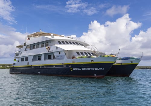
Nat Geo Delfina

- Galapagos
- Ecuador
Endemic
- Galapagos
- Ecuador
Aqua Mare

- Galapagos
- Ecuador
Galaxy Diver II

- Galapagos
- Ecuador
Natural Paradise

- Galapagos
- Ecuador
