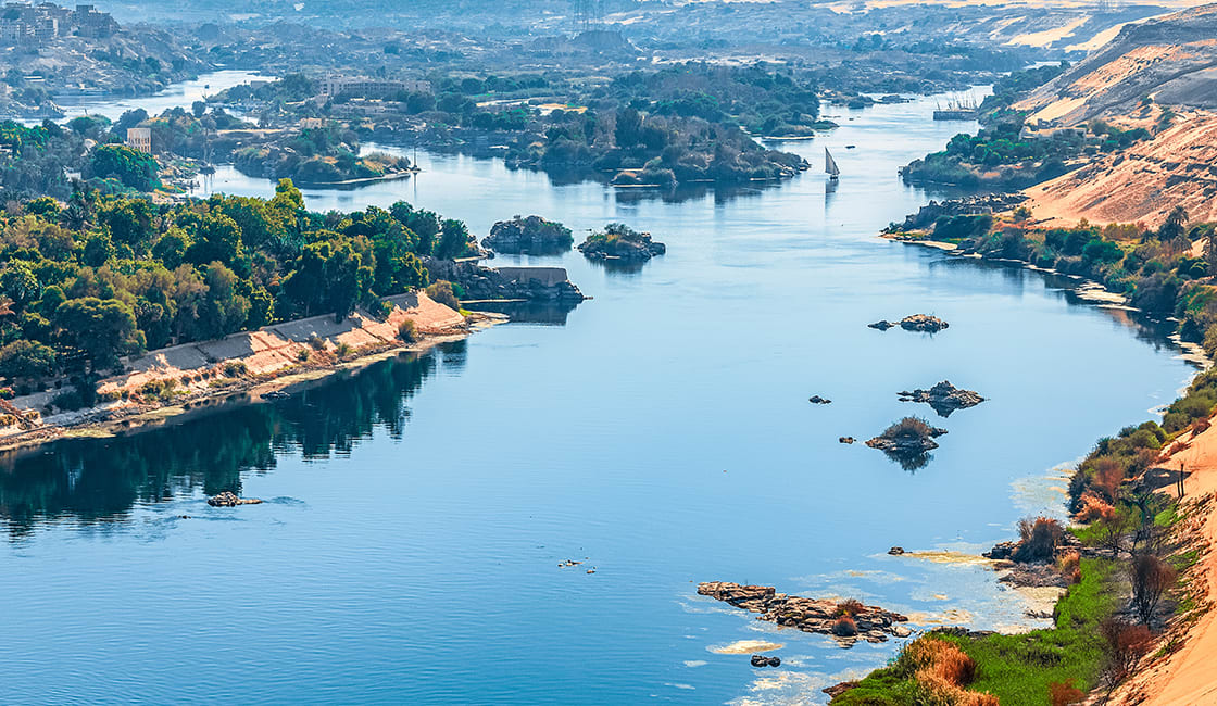
What is the longest river in the world? The Amazon or the Nile? This debate has been going on for years. For most of the last century, the Nile has been considered the world’s longest river, at 4,132 miles (6,650 km) compared to the Amazon’s 3,976 miles (6,400 km). But the matter has now been complicated by a series of expeditions to an extinct Andean volcano called Nevado Mismi near Arequipa in southern Peru.

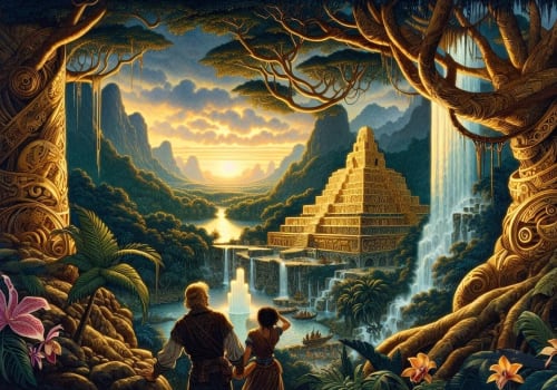
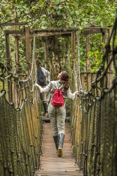
Hiking To The Source Of The Amazon River (Mismi Volcano)

The expeditions took researchers weeks at a time, sometimes in freezing temperatures to altitudes of 5,000m, to demonstrate that the farthest source of the Amazon was not the Marañon River, as previously believed, but instead, its most distant year-round tributary is a trickle flowing off of one of Nevado Mismi’s glaciers, which eventually grows into the Lloqueta River, and from there into the Apurímac River, which flows into the Amazon.
The first expedition in 1971, sponsored by the National Geographic Society, pinpointed Carruhasanta Creek, which runs off the north slope of Mount Mismi. This location became widely accepted in the scientific community and remained so until a Polish expedition in 1983 contended that the source of the river was actually another stream that flows into the Lloqueta River, the nearby Apacheta Creek.
With the introduction of GPS technology in the 1990s, researchers again attempted to navigate the entire length of the Amazon. Andrew Johnston, an American geographer from the Smithsonian Institution’s Air and Space Museum concluded again that the source was indeed the Carruhasanta Creek on Mount Mismi.
By the early 21st century, advanced satellite imagery technology was allowing researchers to measure river dimensions even more accurately. In 2007 an expedition that included members of Brazil’s National Institute for Space Research and Peru’s National Geographical Institute traveled to the region of Carruhasanta and Apacheta creeks in an attempt to determine which of the two was the “true” source of the Amazon.
Their data revealed that Apacheta was 6 miles (10 km) longer than Carruhasanta and carries water year-round, and thereby concluded that the Apacheta Creek is the source of the Amazon River.
In order to measure the full river length, the team then had to determine from which of the Amazon’s three main outlets to the sea to begin the measurement – the Northern or Southern channels, which flow north of Marajó Island, or Breves Channel, which flows southward around the western edge of the island to join the Pará River estuary along the southern coast of the island. They chose the latter as the river’s mouth since that lengthened the river by some 219 miles (353 km).
Their final measurement for the length of the Amazon – from Apacheta Creek to the mouth of Marajó Bay – was 4,345 miles (6,992 km). To put that into perspective, that’s further than traveling from New York City to Rome!! This represented an increase in river length of 369 miles (592 km) than previously thought.
Using the same technology and methodology, the same team of researchers then measured the length of the Nile River to be 4,258 miles (6,853 km), some 125 miles (200 km) longer than previous calculations for the Nile.
Using these measurements, that makes the Amazon about 87 miles (140 km) longer than the Nile! So there you have it, the Amazon is now not only famous for being the world’s largest river by water volume (it carries four times as much water into the ocean as any other river does), but arguably the Amazon is the longest river in the world too!
It should be noted, however, that a river like the Amazon has a highly complex and variable streambed – made more so by seasonal climatic factors – which complicates the process of obtaining accurate measurements (see below). For example, the length of meanders can change significantly over time due to natural or artificial cutoffs. Thus, the final length of the river remains open to interpretation and continued debate.
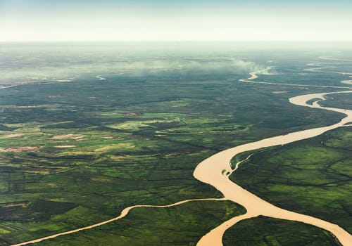
Measuring a river’s length is a surprisingly tricky proposition. Where does a river end? The mouth of the Amazon, for example, is a complicated series of channels and estuaries that push so much river water into the ocean that, during the rainy season, one can sail over one hundred miles out to sea, dip a bucket into the waves, and drink fresh water. It is therefore hard to mark exactly where the Amazon ends and the Atlantic begins, and there is no universal standard for determining this.
The point where a river begins can be even harder to pinpoint. If you measure the Mississippi River using its straightest tributary, as the U.S. government officially does, its source is Lake Itasca in Minnesota. But if you use its longest tributary, the Missouri, the Mississippi suddenly becomes three times as long. The accepted definition is now the farthest point from which water can flow into the ocean and where that water flows year-round. This eliminates rivers that freeze in winter and means all tributaries, not just the straightest, are considered, even if they do not have the same name as the main stem river.
While Rainforest Cruises aim to provide accurate and up-to-date information, we make no representations as to the accuracy or completeness of any information herein or found by following any link on this site. Rainforest Cruises cannot and will not accept responsibility for any omissions or inaccuracies, or for any consequences arising therefrom, including any losses, injuries, or damages resulting from the display or use of this information.